
The city of West Plains in south central Missouri is both a firmly established Ozark oasis and an emerging outdoor recreation hub. Within a 75-mile radius of the warm and welcoming town, you can visit 11 historic mills, 10 springs and waterfalls, more than 350 miles of floatable streams, and 63,000 acres of National Forest.
Insta-worthy Hodgson Mill (pictured below) was built in 1861 at the base of the cliff where Hodgson Spring discharges. It’s near Althea Spring, a popular stop for paddlers in Patrick Bridge Conservation Area. The North Fork section of the Ozark Trail curves within 8 miles of town, or you can visit the Devil’s Well, a huge sinkhole that was formed when the roof of a cavern collapsed into the underground lake below.
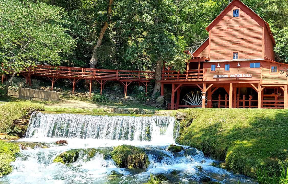
Hodgson Mill dates to 1861.
The list of outlying natural attractions goes on and on, but the fun doesn’t only exist outside of the city limits. A new singletrack mountain bike trail at JMB Park is home to the local National Interscholastic Cycling Association (NICA) team and joins an already popular disc golf course there. The Robert Neathery Skate Park offers a purpose-built venue for the ollies and grinds. A growing network of bicycle routes (see below) hopes to serve families, commuters, and cyclists alike.
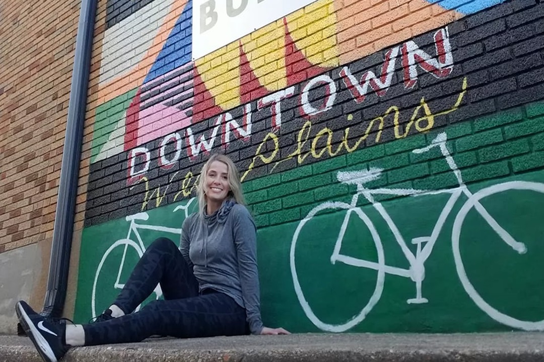
When it’s time to relax, take the mural tour and spot all 19 public art pieces on buildings around the city. The downtown square boasts an eclectic mix of bookshops, coffee houses, antique malls, art galleries, restaurants, and bars — as well as the West Plains Bike Shop. If you’re there the first weekend in April, be sure to check out the Party in the Path festival celebrating the total solar eclipse; it includes a 5K run, food trucks, beer garden, craft vendors, cosmic carnival for kids, live music, and more.
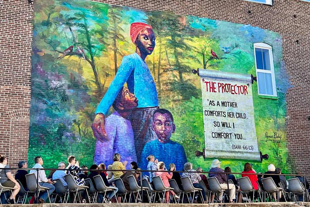
One of the many murals in West Plains. (West Plains Daily Quill)
Getting There
Coordinates: 36.737355°N, -91.864991°W
Directions: From downtown St. Louis, take I-44 West to Exit 184 in Rolla. Head east (left) onto Kingshighway and proceed to US-63. Head south (right) on US-63 and drive 98 miles to West Plains.
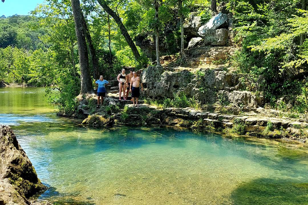
Cooling off in West Plains is not a problem.
Bicycling West Plains
Routes: 3
Length: 6.2 miles (Galloway Loop), 5 miles (Central Loop), and 2.6 miles (Zizzer Way)
Type: Loop and spur
Surface: Asphalt
Cyclists leave West Plains with a smile. (Michael Hullinger)
Amenities: The routes are marked with bicycle symbols and arrows on the streets, as well as green bike route signs. The Galloway Loop has parking at Galloway Park. Parking for the Central Loop is available across the street at East Towne Village.
Description: The routes were designed using shaded and low-traffic residential roads and roll by the highlights of West Plains, including the downtown square, historic buildings, Missouri State University-West Plains campus, and the three city public schools.
Author: Brad Kovach is the founder and publisher of Terrain Magazine.
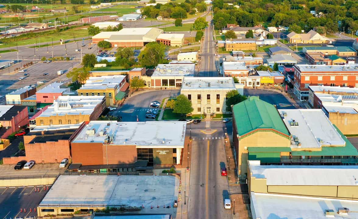
Top Image: An aerial view of West Plains. (Blue Angel Images)
Leave A Comment