
It was the best of rides, it was the worst of rides, it was the season of brilliant sun, it was the season of sizzling heat, we had everything before us, we had nothing before us….
Sorry, too much Dickens lately.
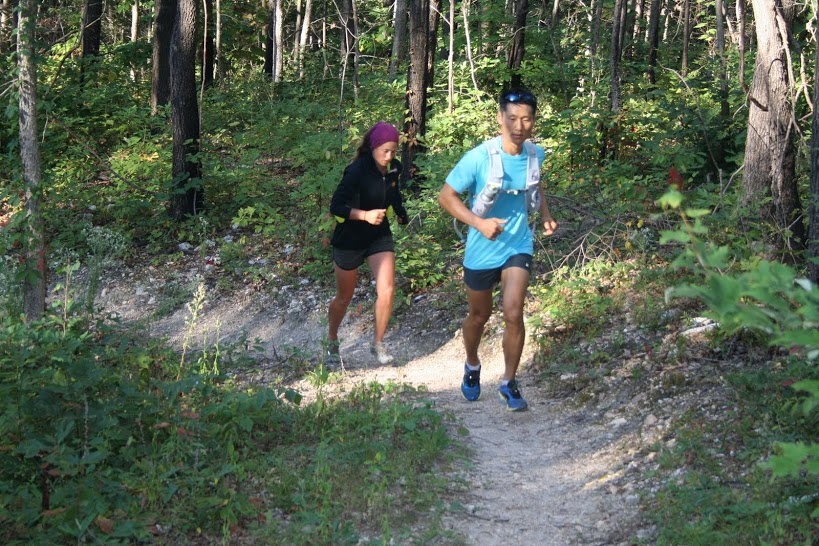
Several friends and I had met 16 miles west of Potosi, Mo., at Berryman Campground with the goal of mountain biking its signature attraction. This is the closest trail to St. Louis ever designated an “epic” by the International Mountain Bicycling Association (IMBA), and it is a “must” for those wanting to experience a remote, classic, challenging Midwestern ride (or hike or run).
Alas, it being August in Missouri, we were met with 100-degree temperatures and suffocating humidity that turned the verdant backwoods into a sauna. By the time we reached Beecher Spring about 7 miles into our ride, some of us didn’t think twice about dunking our heads right into the 56-degree water in the trough there. Whoa! Now that’s brisk!
There is no drinking water available on the trail (you can use the spring water, but we recommend treating it first to be safe) so bring plenty of hydration with you. Ditto food and other essentials. While several fire roads can serve as bailout points, no convenient cache sites exist other than at Berryman Campground or Brazil Creek Campground. These are 15 or 10 miles apart, depending on whether you go clockwise or counterclockwise.
A couple of our group members, sun-kissed and overheated, decided to bow out at Brazil Creek and take the road back to Berryman Campground, but the rest of us finished the full loop in just over three and a half hours. It was a hot, hilly, rocky ride — and I don’t know that I’d want to do it again under such conditions — but there’s never a bad day to be on a bike. Right?
Description
Consisting of western and eastern sections, the Berryman Trail traverses 26 miles of varied terrain in the Mark Twain National Forest. The 70-year-old route is cut from the ridgelines and rolling hills of the Ozark Mountains and mixes trenched slopes, creek bottoms, twisting switchbacks and tight, often-rocky singletrack beneath a tall canopy. The thick stands of oak, pine and hardwood create a peaceful, isolated atmosphere.
The eastern section, while shorter by about 5 miles, has numerous climbs and descents that generally lead to it being considered the “harder” of the two sides. However, the western section contains several segments of bone-jarring bumps that can leave users feeling bruised, whether on foot or on two wheels.
Tent sites at Beecher Spring as well as near some of the fire roads, and primitive campsites the Berryman and Brazil Creek trailheads, encourage multi-day adventures. In fact, the western side of the trail serves as part of the Courtois Section of the Ozark Trail and can be utilized during a thru-hike or longer point-to-point trip.
New directional signs and trail markers have been added at some of the more confusing intersections, so if you ever doubt which way to go, look for these.
Recent Re-routes
While the Berryman has survived seven decades of use by hikers, bikers and equestrians, several areas do not meet modern sustainable trail guidelines, which has lead to significant water damage and erosion. As a result, the Ozark Trail Association (OTA) has been working to re-route portions of the trail since 2010.
To date, three phases of re-routes have helped move sections of the trail out of muddy areas and increased longevity using modern contour design methods. The OTA is currently working on Phase 4 of the rehab project, which is funded by a federal Recreational Trail Program grant. An additional 2 miles of re-routes on the eastern side will be completed by December 2017.
“By the end of Phase 4, about 10 miles of the loop will have been re-routed — almost 40 percent! Major maintenance including added crib walls and mechanically de-bermed trail projects were also completed around the entire loop,” said Matt Atnip, executive director of the OTA. “There is opportunity for additional re-routes on the loop, so a Phase 5 is possible beyond 2017.”
Trail Information
Length: 26 miles
Type: Loop
Surface: Singletrack
Rating: Intermediate
Best for: Hiking, biking, running, equestrian
Parking: Berryman Trailhead and Brazil Creek Trailhead
Amenities: Campgrounds at the Berryman and Brazil Creek trailheads, the former with picnic tables, fire pits, grills and restrooms
Author: Doug Simmons is a regular contributor to Terrain magazine
Leave A Comment