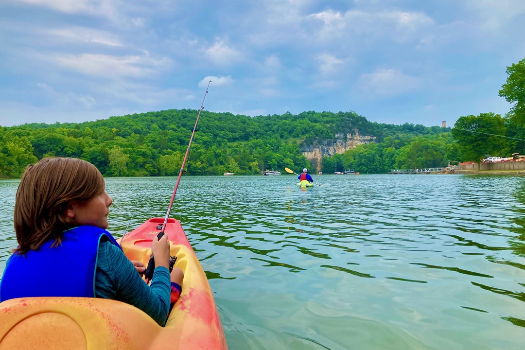
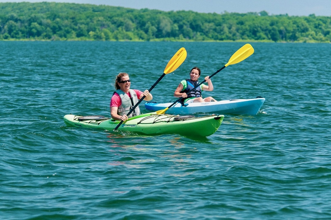
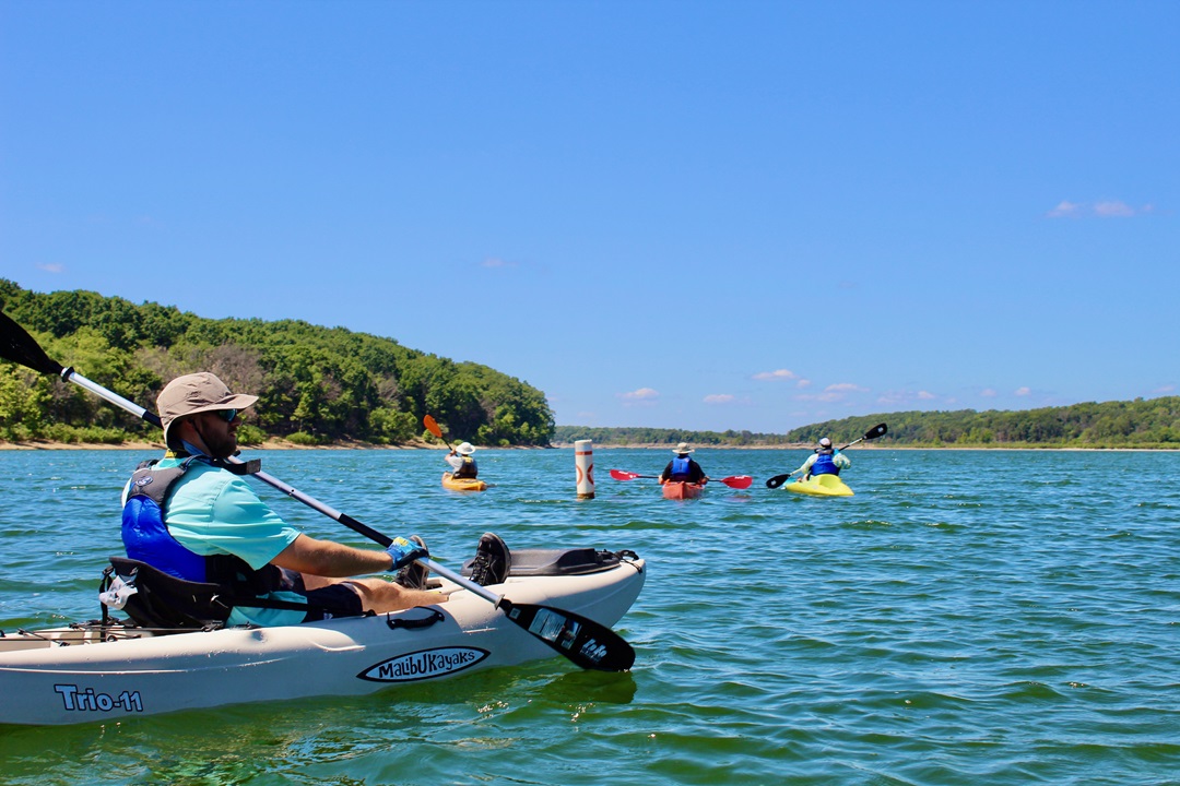
Missourians love to paddle. You should expect no less when the name of your state roughly translates to “people of the wooden canoes.”
But while the cold, clear, spring-fed Ozark rivers are a main attraction for paddlers, many might be surprised to learn that Missouri State Parks offers more than 45 miles of water trails at six different parks throughout the state.
And for anyone asking what exactly a water trail is, here’s a definition: A water trail, also known as an aquatic trail or a blueway, is a route on a waterway designated for recreational use, especially with non-motorized watercraft such as canoes and kayaks.
“We have multiple aquatic trails across the state for those who love the water and want to explore our parks from a different perspective,” said David Kelly, director of Missouri State Parks. “Each of our aquatic trails is unique and only accessible by the water.”
Want to experience Missouri’s water trails this summer? Here’s a quick breakdown.
Starting in the central part of the state, the Aquatic Trail at Lake of the Ozarks State Park was the first official water trail to launch within the parks system. The 9.75-mile water trail connects 14 different natural and historic cultural features by GPS coordinates. Visitors begin at Nature’s Window, a slice arch in the bluffs, and end at Lumberman’s Logging Chute, where railroad ties were once floated down Grand Glaize Creek to Old Bagnell. In between, visitors can expect to see multiple small caves in the surrounding bluffs and unspoiled views of the Ozark landscape as it would have appeared before the creation of Lake of the Ozarks in 1931. At nearly 10 miles, the trail is more easily navigated with a motor, though the Grand Glaize Arm of the trail offers less development and boat traffic, providing a more tranquil experience.

Ha Ha Tonka State Park. (Kyle Wayne Stewart)
About 25 minutes south of Lake of the Ozarks State Park, another worthwhile water trail beckons to be explored. Ha Ha Tonka State Park features the longest aquatic trail in the parks’ system. Ha Ha Tonka visitors can embark on the 13.5-mile Big Niangua River Trail from the aquatic trailhead located near the rental kayak fleet near the Natural Spring Trailhead. This trail showcases the park’s storied natural history, including Onyx Cave, the Tunnel Dam Powerhouse, and Whistle Bridge, along with spring-fed creeks named after counterfeiting gang members that once called the future park home.
That said, most paddlers tend to stay in the heart of the park in Ha Ha Tonka Cove, making their way upstream from the boat launch to the Island Trail and the little oasis where Ha Ha Tonka Spring feeds into the Lake of the Ozarks. A wooden picket fence suspended across the water marks the end of the line, but you can anchor in the cool, blue spring water and marvel at the notable difference in temperature and color between the two different water sources. You can also paddle along the towering bluffside where the famed Ha Ha Tonka castle ruins reside far above. It’s not uncommon to spot great blue herons, turtles sunning themselves on branches protruding from the water, and more wildflowers than you can count growing along the face of the bluff.
Finger Lakes State Park, located north of Columbia along Highway 63, was once an active strip mine. The thin lakes of the repurposed mining site create an experience that’s more akin to a scenic river float than an open and exposed lake paddle. The setting at Finger Lakes is perfect for first-timers, as there is no moving current, so you can work on your technique and skills. The 4.5-mile trail, consisting of two loops with a connector, can be leisurely accomplished in two hours, leaving plenty of time to enjoy the rest of the park.

Stockton State Park. (Missouri State Parks)
Located about 90 minutes northeast of Springfield, Stockton State Park is known as Missouri’s premier sailing destination. However, Stockton Lake is also accessible by canoe or kayak along the 6.65-mile aquatic trail. The trail features limestone bluffs cut by the Big and Little Sac rivers and access to quiet coves for picnics and an island for exploring. The two trailheads are only 1.1 miles apart by road, and bicycle racks are located at each trailhead for easy bicycle shuttling. A word of caution: The same winds that make Stockton Lake great for sailing can make for slow going if you are paddling into a headwind on the open expanse of the lake.
Wakonda State Park, just north of Hannibal, offers three different water trails on three different lakes: Wakonda Lake (3.7 miles), Jasper Lake (2 miles), and Agate Lake (4.25 miles). Now is a good time to visit, as both Jasper Lake and Agate Lake close seasonally to all watercraft from November through January and again from mid-February through March.
Missouri’s shortest aquatic trail is the Monsanto Lake Water Trail at St. Joe State Park. While this trail measures only 1.25 miles, paddlers can see and learn about the park’s different cultural and natural aspects, including a dolomite glade, native grasses, shortleaf pines, and the Old Lead Belt.
Admission to all Missouri State Parks is free. However, a minimal rental fee is required to use the parks’ kayaks, canoes, and other paddlecraft. Each rental includes your choice of floating vessel, paddles, and lifejackets. For more information, contact the respective park of your choice or visit mostateparks.com.
Author: Kyle Wayne Stewart is a regular contributor to Terrain.
Top image: Stockton State Park. (Kyle Wayne Stewart)


Leave A Comment