There’s a reason several of the top multi-use dirt trails in Greater St. Louis are located within a few miles of each other in Weldon Spring. In a word: staging. The forest here is thick and scenic, punctuated with natural springs, rock bluffs, clear-running streams and undulating terrain. But that’s not all. The word “staging” brings to mind a theatrical twist, and Weldon Spring has that as well — especially its Lost Valley Trail
According to the trail builders at Gateway Off-Road Cyclists (GORC), the name Lost Valley comes from the bootleggers who once made use of the area as a quiet hideaway. The trail is also near the site of a former World War II ammunition works and uranium processing plant; you can see the remnants in the 75-foot-tall “disposal cell” (a.k.a. The Mound) located nearby. There are abandoned homesteads, an old cemetery and even “Haunted Hollow” about three miles from the trailhead.
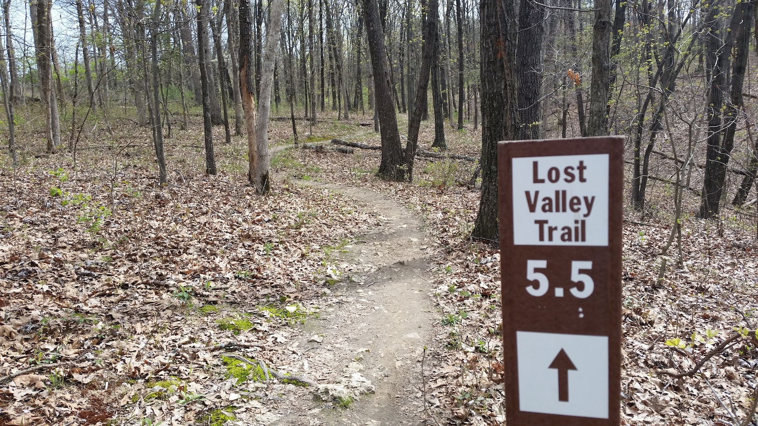
Description
Drama aside, the real star is the trail itself. The 10.5-mile loop poses a mixture of double and singletrack that cuts through timber and dells and makes an enticing destination for hikers, runners and mountain bikers. The trail sees moderate use, most often from the latter group, and is open from sunrise until 10 p.m. — making it a good option for night excursions. Be forewarned, however, that hunters use Lost Valley, too, so it’s a good idea to check with the Missouri Department of Conservation before you head out.
From the trailhead, Lost Valley begins with approximately a mile of fire road that is fairly flat but begins to climb as it nears the singletrack. Signs will direct you to the “Long Loop” (mostly dirt) or “Short Loop” (mostly gravel).
Going clockwise, the singletrack breaks into three sections. The first consists of about a mile and is the most technical part of the entire trail. The tread is narrow and interspersed with rock shelves and outcroppings that demand you stay light on your feet and pay attention. You’ll know you’re through this section when you end up back on a short stretch of fire road.
The next section of singletrack peels off to the right shortly after crossing Little Femme Osage Creek and kicks off with a moderate climb. Overall, this is a flowing, windy measure of trail. A short but fairly steep climb at mile 3 leads through a cedar grove, then it’s all curves and flow until you once more intersect with the doubletrack.
Go left and, after a short ascent, get rewarded with a 1.25-mile downhill on loose gravel. Hang a right at the bottom to stay on Lost Valley (going straight will connect you to the Hamburg Trail). The remaining distance crosses a meadow before dropping into another mile-long section of mostly hard-packed singletrack, with a few rock obstacles to keep things lively.
Certain parts of this last section, as well as the middle section, were recently rerouted by GORC to make them more sustainable. The work, which was completed earlier this year, also resulted in the trail being even more “flowy” than before, something all users can appreciate.
Directions
From the Highway 40/94 interchange, take Highway 94 South for approximately 5 miles. The Lost Valley Trailhead parking lot will be on your right hand side, soon after you pass the St. Charles County Law Enforcement Training Area.
Alternatively, you can park at the Weldon Spring Site Interpretive Center and ride the Hamburg Trail to where a connector drops you down to the main Lost Valley Trail. This will save you about 2 miles of driving — plus it gives you more time hiking, running or biking!
Trail Information
Length: 10.5 miles
Type: Loop
Surface: Dirt and gravel, with patches of old asphalt
Rating: Moderate
Best for: Running, hiking, bicycling
Parking: Lost Valley Trailhead or Weldon Spring Site Interpretive Center (aka The Mound)
Amenities: Parking, access to the Hamburg and Katy trails
Author: Doug Simmons is a regular contributor to Terrain magazine
Another great thing about this trail is that it is open at night – year round.