In the not-so-distant past, if you’d floated the idea of having a network of hiking and biking trails winding around rivers and small towns, through rural and urban areas of St. Louis and its suburbs, out through mid-Missouri and on to Kansas City, chances are you would’ve been labeled a dreamer — someone out of touch with reality.
Luckily for all of us, those dreamers, as they are known to do, remain persistent in their pursuits. Rather than give up, they gather with other dreamers who are just as persistent. And now, that persistence is paying off in an increased wave of support as those dreamers inch closer to their goal of connecting trails that will allow everybody a chance to walk, run and bike through a statewide network, much of it seamlessly transitioning from one area to the next.
It’s been a long time coming, and as Steve Myers, one of those dreamers who also happens to be the director of the Pacific River Walk Trail, will tell you, “It certainly hasn’t moved quick enough, but it seems to be gaining a lot of momentum.”
Pacific River Walk Trail

Myers, also the alderman for Ward II in Pacific, Mo., sees exciting times ahead for the connectivity of trails around the state. “When you see that the Katy Trail, through it’s 400,000 annual users, generates an estimated 19 million dollars to the towns and communities it touches, it becomes very exciting to know that we could get a piece of that for our communities and towns as well,” he said. “Pacific is bordered on two sides by river, and currently, if you try to follow that path, you’re constantly met with ‘No Trespassing’ signs. This can be changed so that people can enjoy the natural beauty of our area.”
The Pacific River Walk’s area of focus is the land under the bridge that crosses the Meramec River, where 1st Street, the main street through Pacific, transitions to Highway O. They already own this land, and Myers envisions a trailhead here, with boat ramps for river access, a bridge above for cycling and, just as importantly, an intersecting point for the Ozark Trail and the Meramec Greenway.
“If you look to our east, it’s the Meramec Greenway. If you look from the bridge west, the Ozark Trail covers much of that, including a current proposal to connect Onondaga State Park to Meramec State Park,” Myers said. “A future vision includes Meramec to Robertsville, which happens to be only 2 to 3 miles away as the crow flies from us here in Pacific. This would be the River Walk Trail.”
A lot of the area in question is floodplain, explains Myers, with annual floods adversely affecting those that have property or live there. With no assurances that these damages are going to be continually paid for through insurance and FEMA, Myers believes that now is the time to be proactive and make the land useable and more resistant to flooding. By forming a 501C cooperative, The Magi, to focus on this undertaking, the hope is to repurpose the land in the flood zone by changing the culture surrounding it.
“The best use for this 100-acre landscape,” said Myers, “is to transform it into a first-class, low-impact, recreational space.” Support for the plan among residents is booming, catching the attention of investors, who are now inquiring about buying properties or getting involved in other ways with the proposed trail.
Myers says that the upside to this project, which would draw visitors from Franklin, Jefferson and St. Louis counties, is sky high, with advantages to the Pacific as well as the Eureka areas. Benefits would be economic, through building and construction; social, though increased visitors and tourism; and obviously recreational, from the use of the area, which positively impacts health and quality of life.
The River Ring
![]()
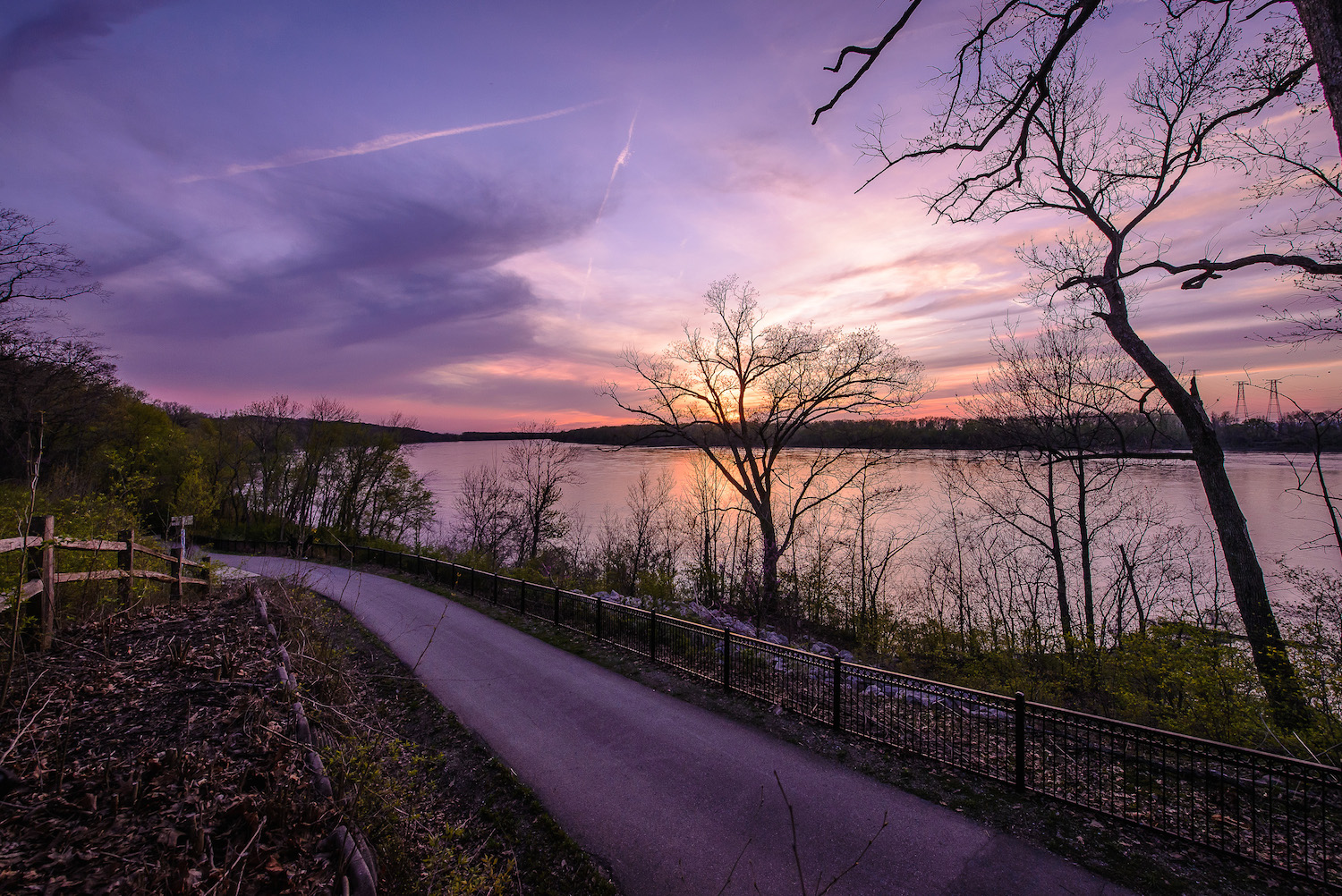
Looking east from the Pacific River Walk, you’re entering Meramec Greenway and Great Rivers Greenway’s River Ring, a network of trails that continues to grow with a similar mission: allowing people to explore their rivers, parks and outdoor nature areas by connecting local greenways with paved trails.
With 113 miles of paths extending from St. Louis City through the stretches of St. Charles County, the River Ring has taken a unique approach to building trails. They secure properties in smaller chunks when available, while keeping their eye on the overall picture. “Because of this, you’ll see simultaneous projects being built, sometimes miles apart, but with the same end goal,” said Seth Treptow, communications manager of Great Rivers Greenway. “Unlike other trails that make use of decommissioned railways, we depend on individual landowners either through land acquisition or granted easements, which really makes any specific timetables impossible to predict. This is not within our control, but frankly, is our biggest challenge. We’ve been fortunate, though, in getting the tax support needed to help fund our efforts.”
An example of this is within “clubhouse communities.” “These are the smaller, weekend getaway homes that people had built near the rivers to relax, fish, swim or just enjoy time away from the city. Now, many of these have blossomed to become year-round residences. Great Rivers Greenway can gain access by offering them fair market value for their properties, or we can work with utilities to gain easements,” said Treptow. “Once the residents and landowners see the tremendous benefits of this type of redevelopment, they’re almost always on board. If not, we respect that and find a different route.”
The benefits Treptow references come in several forms. Economically, the River Ring development provides jobs, with the construction of the trails and related structures. For homeowners that live on or near the trails, they see their property values increase; trails and nearby outdoor activities are highly valued amenities that homeowners seek when looking to buy a new home.
On a more individual level, and basic to the mission of Great Rivers Greenway, these trails provide everyone a chance to “live life outside” and enjoy nature even if you spend most of your time in the middle of the city. Some of these trails and greenways are readily accessible to those that can’t take extended time to drive elsewhere to get back to nature. Additionally, the greenways provide an alternative, yet practical way to get around town or to travel to the smaller, out-of-the-way towns that would otherwise be forgotten or passed over.
On an environmental level, greenway and trail development provides important habitat restoration and protection for wildlife and the places that they naturally call home.
Missouri Rock Island Trail

Making the statewide trail dream even more unique is the proposed Rock Island Trail. Born from the old Rock Island Railroad, the trail will replace the defunct rail route with a scenic, nature-infused stretch of 144 miles reaching from Windsor to Beaufort, winding through the once vibrant but now more dormant railroad towns. This future trail is currently under the supervision of our state government and Ameren. The old rails are being removed and salvaged, and at the end of this year, the Rock Island Trail will be handed over to the Missouri Department of Natural Resources to be transformed into a beautiful connector trail that will complete a nearly 500-mile loop from St. Louis to Kansas City.
Hopes are for the trail to be immediately available in the areas that are free from potential hazards, namely those not containing bridges or tunnels that haven’t been inspected yet. Then, as funds become available, the trails will be converted to higher standards, similar to those of the Katy Trail. Plans for this route include future access to campsites, fishing and nature observance. “That is what distinguishes this trail from the other side of the loop,” said Greg Harris, executive director of Missouri Rock Island Trail (MORIT).
The Rock Island Trail will feature numerous bridges and tunnels, the highlight being the expansive Gascony Bridge, spanning 1,772 feet across and 100 feet above the Gasconade River. “A spectacular site in itself,” remarked Harris.
“The Rock Island Trail is already becoming an international draw, with real interest coming from cycling and hiking communities from literally around the world,” he said. “Logistically, this loop is perfect. It follows a corridor travelling directly through 23 towns, with no outer-edge, bypass routes.” These communities, some long forgotten, will enjoy an economic boost from trail users while having the ability to publicly showcase their other tourism opportunities and put themselves back on the map. Add in the environmental benefits, such as the cleanup and maintenance of natural habitats, along with the health benefits of getting out on these trails, and it’s a win-win situation.
“But while this has been a great thing, it’s not without it’s challenges,” said Harris. “With the current state budget cuts, we have to be more creative in finding funding.”
Harris has ideas for that as well. With the repair and modifications that may need to be done on some of the bridges and tunnels, Harris believes there are opportunities for business, corporations or individual philanthropists to pitch in and underwrite the cost, with the return being the naming rights for the structures they adopt. He is also lobbying for the State to open the trail for use as primitive trail once it is officially handed over to the Department of Natural Resources, stating, “This would begin to economically help the communities on the route immediately, allowing them to enhance tourism and expand their hospitality and culture.”
Author: Gerald Dlubala is a St. Louis-based writer that believes in living life outside, frequently spending time in one of our great state parks. He is contributor to Terrain magazine, Ink & Embers and Bourbon & Banter.
Image: Courtesy of Great Rivers Greenway
Leave A Comment